
Military installations are traditionally associated with tactical training and defense operations, but Fort Hood is carving out an unexpected niche in ecological preservation. Biologists and technologists at the base are combining habitat monitoring tools with spatial mapping software to track and protect migratory monarch butterflies. This initiative bridges the gap between large-scale land management and grassroots environmental science.
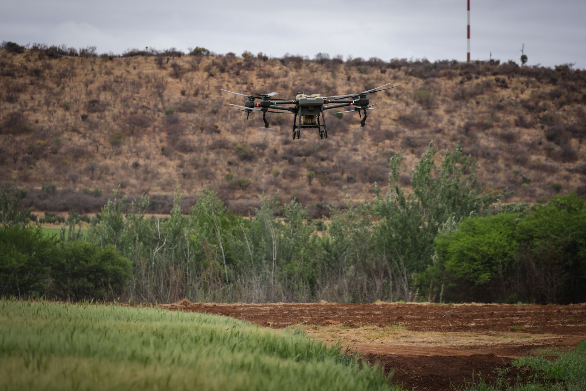
The approach relies heavily on geographic information systems and drone surveys to monitor milkweed growth patterns across restricted zones. By analyzing high-resolution aerial imagery, conservationists can pinpoint critical feeding grounds without disrupting ongoing military exercises. This data-driven methodology allows the base to optimize land use while actively preserving vital habitats for the struggling pollinators.
Beyond field technology, the installation has launched targeted educational outreach to connect local communities with broader ecological goals. Schools and volunteer groups participate in citizen science tracking projects, feeding valuable field observations back into the installation's central database. As biodiversity pressures mount across North America, this collaboration between defense infrastructure and wildlife conservation offers a blueprint for dual-purpose land stewardship.
Fort Hood leverages military tech for monarch butterfly conservation





Comments