
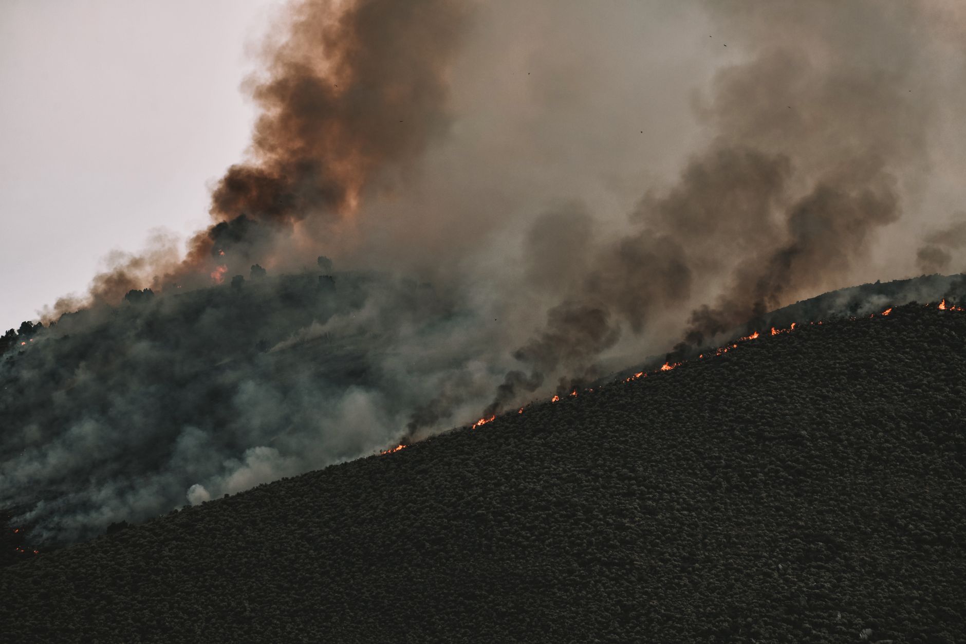
When lightning strikes a dry forest canopy in the remote backcountry, every minute counts. Traditional lookout towers and human spotters often miss early smoke plumes, allowing small ignitions to erupt into catastrophic blazes. Today, a new wave of artificial intelligence systems is changing that timeline. Engineers and environmental scientists are combining high-resolution satellite imagery with neural networks to scan vast expanses of forestland in real time, flagging anomalous heat signatures and curling smoke long before emergency dispatchers receive a civilian call.
This shift toward predictive ecological defense relies heavily on edge computing and IoT sensor arrays deployed across high-risk regions. Solar-powered monitors equipped with optical and infrared cameras stream localized data continuously to cloud platforms, where machine learning algorithms filter out false alarms from fog, industrial haze, or passing vehicle exhaust. When the software confirms a genuine threat, local fire departments receive automated alerts complete with precise GPS coordinates, wind trajectory forecasts, and optimal routing pathways through rugged terrain.
Despite the promise of these algorithms, scaling deployment across millions of acres of federal and private timberland remains an uphill battle. High infrastructure costs, unreliable cellular connectivity in remote canyons, and the sheer computational overhead required to process constant video feeds pose significant hurdles for cash-strapped forestry agencies. Yet, as climate pressures intensify and fire seasons grow longer and more volatile, municipal governments and tech giants alike are finding common ground, channeling critical funding into these predictive defenses to protect vulnerable communities.





Comments