

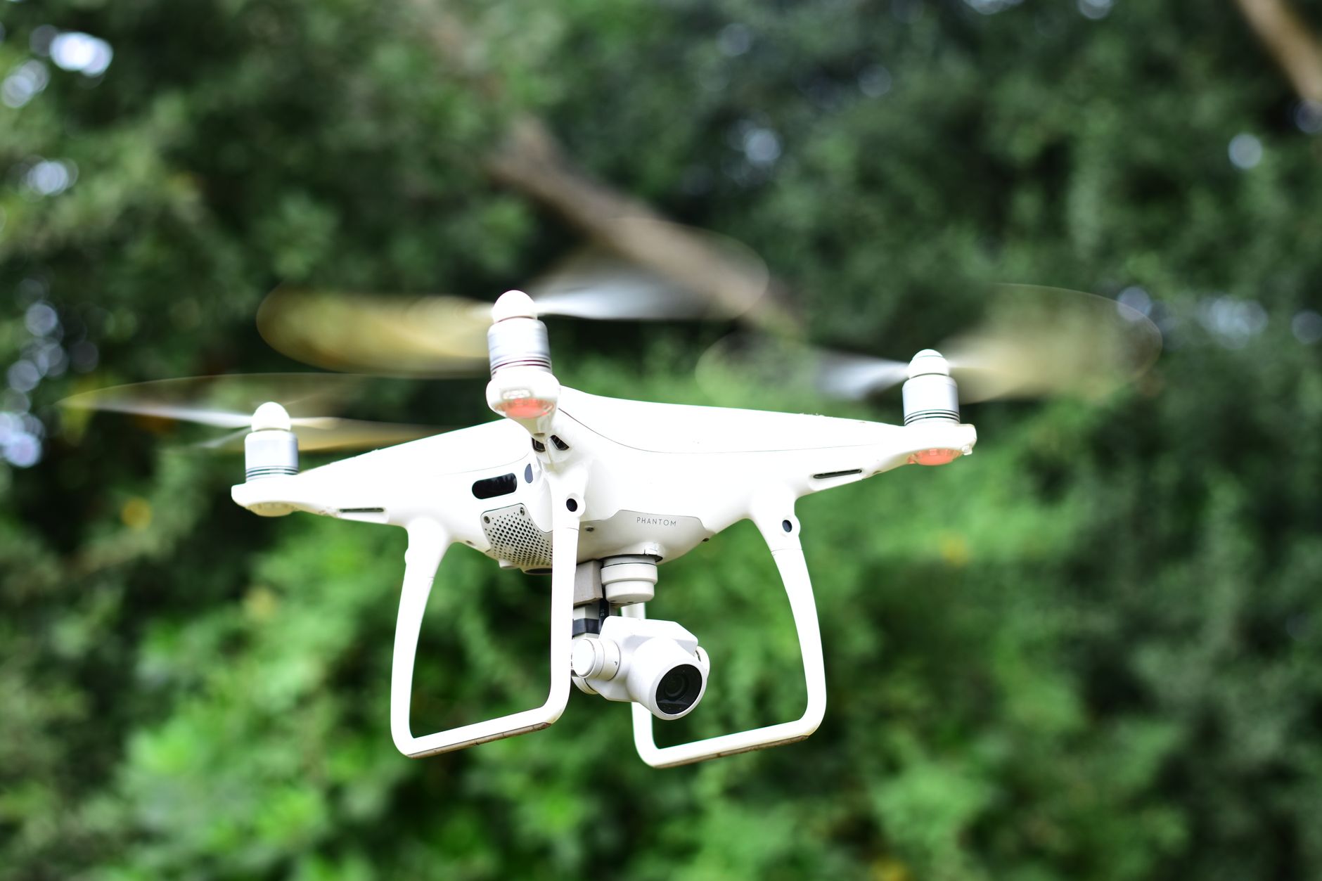
Drone technology is playing a transformative role in the evolution of smart mapping solutions, enabling organizations to collect accurate geospatial data faster and more efficiently than ever before. Equipped with advanced sensors, artificial intelligence, and high-resolution imaging systems, modern drones are becoming essential tools for mapping, surveying, and environmental monitoring across numerous industries.
One of the key advantages of drone-based mapping is the ability to capture detailed aerial imagery with exceptional precision. Advanced cameras and imaging technologies allow drones to generate high-resolution maps, three-dimensional models, and accurate terrain visualizations that support decision-making and planning activities.
Artificial intelligence is enhancing the effectiveness of drone mapping operations. AI-powered software can automatically process captured data, identify geographic features, detect changes in landscapes, and generate actionable insights. These intelligent systems reduce manual workloads while improving the speed and accuracy of mapping projects.
Surveying professionals are increasingly adopting drones to streamline field operations. Traditional surveying methods often require significant time, labor, and resources. Drone-based mapping solutions can cover large areas quickly, reducing project timelines while maintaining high levels of accuracy and reliability.
Infrastructure development projects are benefiting from advanced mapping capabilities. Construction companies use drones to monitor progress, create site maps, perform land assessments, and track project milestones. Real-time aerial data helps project managers make informed decisions and improve operational efficiency.
Agriculture is another sector leveraging smart mapping technologies powered by drones. Farmers use aerial imagery and geospatial analytics to monitor crop health, identify irrigation needs, assess field conditions, and optimize resource allocation. These insights support precision agriculture practices and improve productivity.
Environmental monitoring programs are increasingly utilizing drone mapping systems. Conservation organizations and research teams deploy drones to study ecosystems, monitor wildlife habitats, assess natural resources, and track environmental changes. The ability to gather data from remote or difficult-to-access locations makes drones particularly valuable for these applications.
Urban planning and smart city initiatives are also benefiting from drone-generated mapping data. Municipal authorities can use detailed aerial maps to support infrastructure planning, transportation management, land-use analysis, and public service improvements. Accurate geospatial information contributes to more efficient and sustainable urban development.
Advancements in sensor technology continue to expand drone mapping capabilities. Modern drones can carry specialized equipment such as LiDAR systems, thermal cameras, multispectral sensors, and environmental monitoring instruments. These technologies enable the collection of highly detailed datasets for specialized mapping applications.
Cloud computing and data analytics platforms are improving the accessibility of mapping information. Drone-generated data can be processed, stored, and shared through cloud-based systems, enabling collaboration among stakeholders and facilitating faster decision-making processes.
Autonomous flight capabilities are further enhancing mapping efficiency. Intelligent drones can follow predefined routes, adapt to environmental conditions, and complete mapping missions with minimal human intervention. This automation improves consistency while reducing operational complexity.
Safety and regulatory compliance remain important considerations in drone mapping operations. Manufacturers are integrating advanced obstacle avoidance systems, geofencing technologies, and automated safety features to support responsible and secure drone deployment.
Industry experts anticipate continued innovation in smart mapping technologies as artificial intelligence, sensor systems, and autonomous navigation capabilities advance. Future developments are expected to deliver even greater accuracy, faster processing times, and expanded applications across commercial and public sectors.
As organizations increasingly rely on accurate geospatial information, drone technology is emerging as a critical component of modern mapping solutions. By combining intelligent automation, advanced imaging, and real-time analytics, drones are helping transform how data is collected, analyzed, and utilized in a rapidly evolving digital landscape.




Comments